

Helicopter traverse 25 Jan
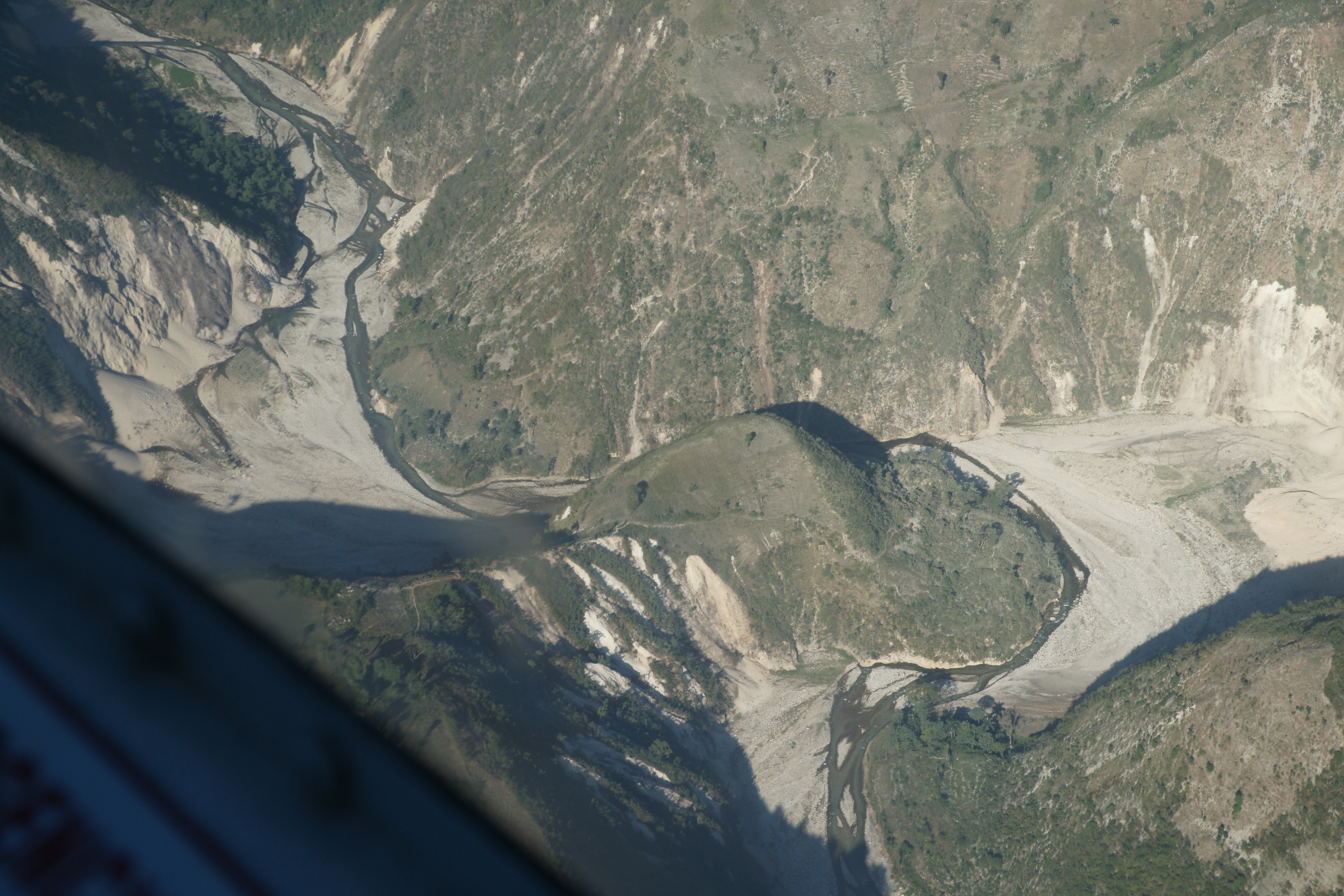
A prominent east-west fault-controlled valley that offsets north-flowing drainages up to 20 km to the west, is located near the epicenter. The valley marks the path of the transform plate boundary. It is floored by anastamosing streams with (at this season) very modest flow. Numerous fresh landslips and rock falls scar the south-facing valley side and these are likely to be re-activated during heavy rain. The 20-km-offset of the streams in this valley has been caused by the equivalent of ten thousand earthquakes each slipping 2 m, every two centuries or so, for the past 3 million years.
![]()
View east along transform boundary (Port au Prince 20 km to NE behind limestone hills on left). The tiny village of Henry (18.468,-72.452) in foreground was largely undamaged by the earthquake

View NW along transform boundary showing landslips on limestone cliffs, and alluvial plain and Gulf of La Gonave in the distance (Photo taken near 18.459, 72.493). These landslips will be reactivatd during heavy rain.

River Terrace 18.4721N, 72.5375W viewing south (Roger1 from Carol Prentice). Click on image for 600k jpg. Click here for 20 Mb jpg. Rich Koehler and Paul Mann have checked the apparent scarp here - no fractures. See note below left.

The above image views north at 18.4740,-72.4460. Two very large images can be accessed: One Two
![]()
Rock fall on south-facing valley slope near stream bed at western end of transform valley (18.4796,-72.557). The largest boulder (left) measures 3.5m x 2.5m x 2m and weighs an estimated 30 tonnes.

(Above) Uplifted corals were identified at 18.525 -72.651 (Click here) and at 18.446,-72.690 (view above). The largest of the donut-shaped corals are about 1 m in diameter. These corals have been raised about 50 cm relative to in-situ corals located about 2 km to the south of the above photo. i.e the above relative uplift estimate is independent of the tidal stage. Sections of these corals will be used to determine uplift and subsidence history of this shoreline for the past several hundred years.

Slump fissures can be found parallel to the shoreline along most of the coastal sediments. In this location (view west at 18.431,-72.760) the slump has removed more than 30 m of beach plus an unknown volume of submarine sediments, taking with it local vegetation and the foreshore for a distance of approximately 1 km to the west. Several dead trees offshore stand in more 2-4 m of sea water. The submarine collapse caused a local tsunami, which is reported by CNN to have drowned 7 Haitians. Its amplitude is purely speculative but most probably exceeded 1 m at the shore. The inland penetration of the tsunami (run-up) was not obvious from areal views but its passage may have been recorded by staining of the grass roughly 50 m inland.